
-
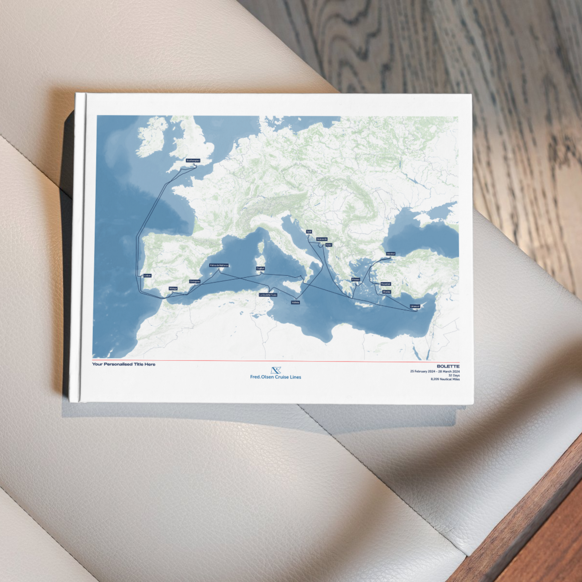
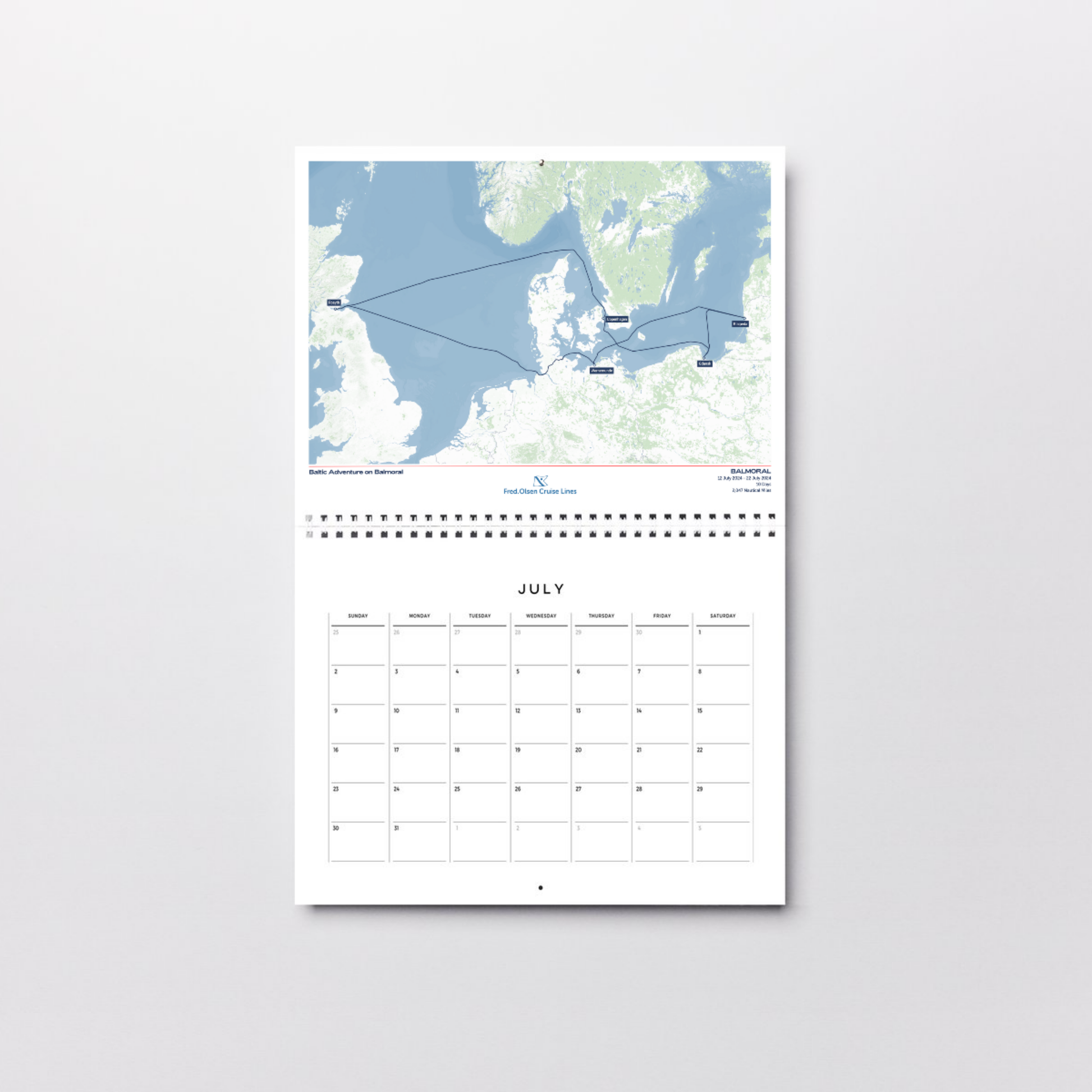
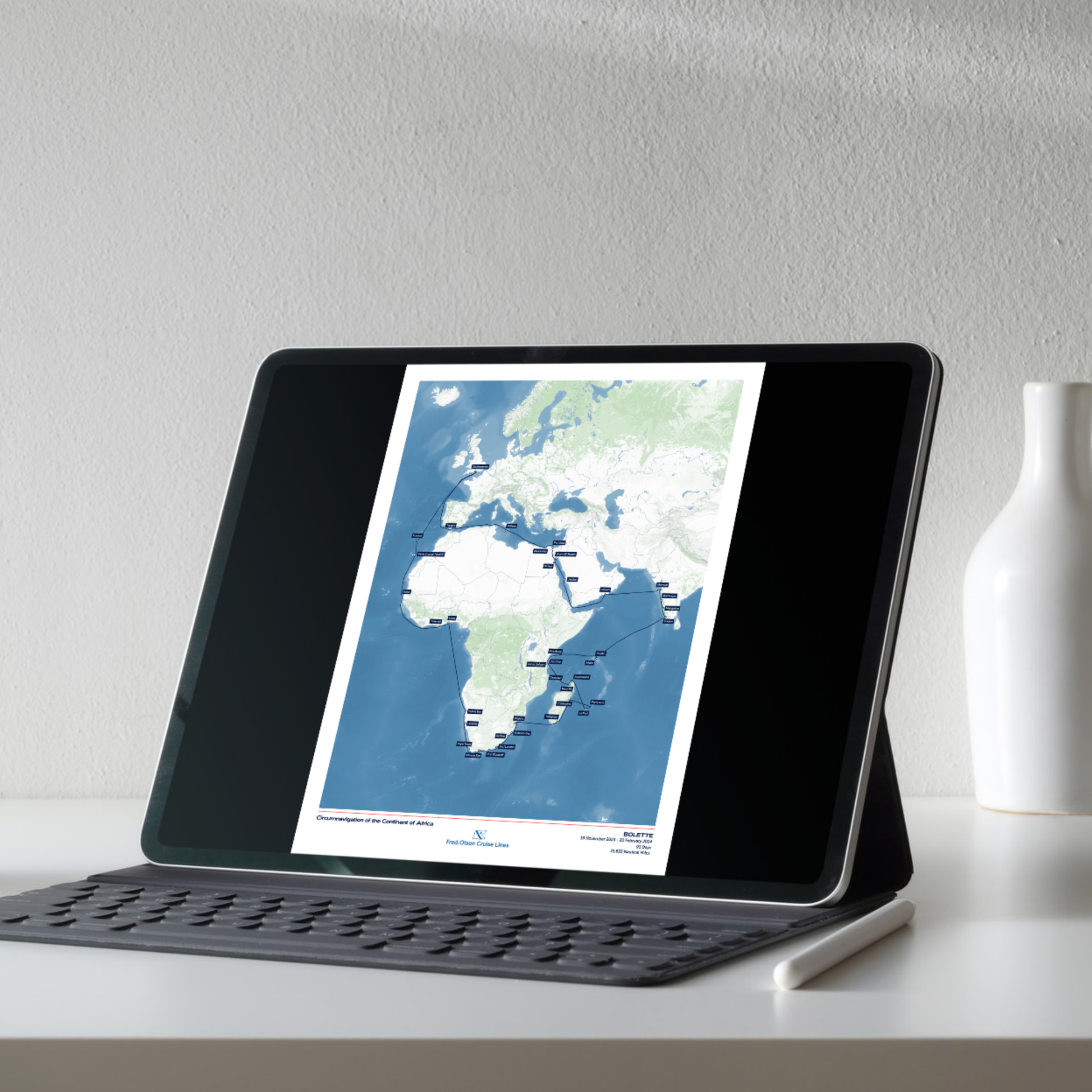
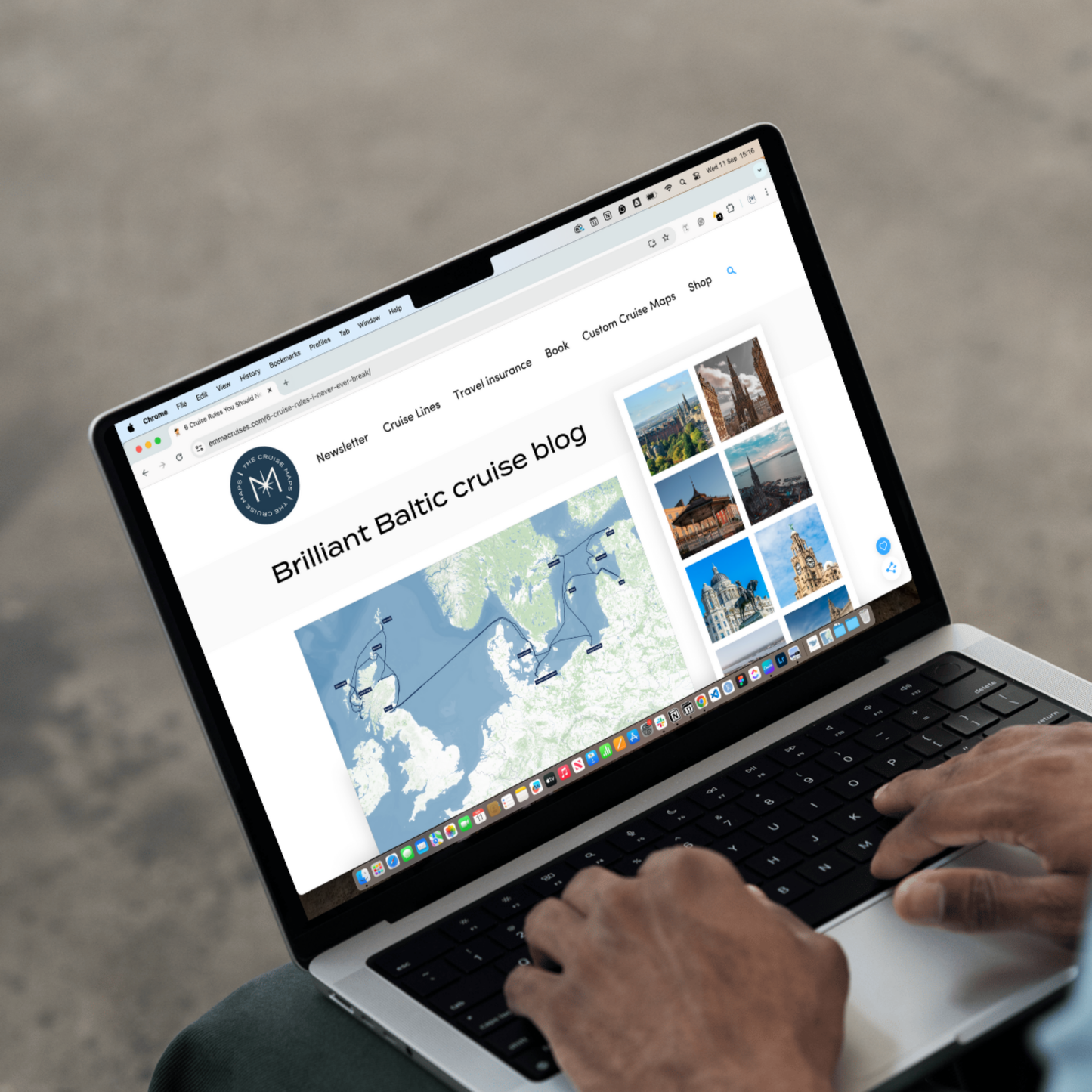
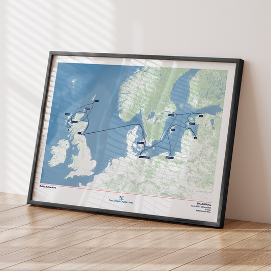
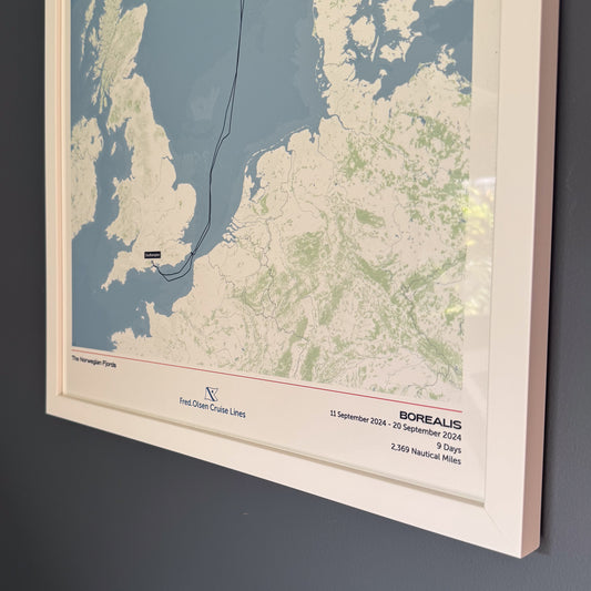
All maps shown in these images are sample routes. When you order a map, we guarantee that it will show your exact route.
-
All maps shown in these images are sample routes. When you order a map, we guarantee that it will show your exact route.

-
All maps shown in these images are sample routes. When you order a map, we guarantee that it will show your exact route.
-
All maps shown in these images are sample routes. When you order a map, we guarantee that it will show your exact route.
-
All maps shown in these images are sample routes. When you order a map, we guarantee that it will show your exact route.

-
All maps shown in these images are sample routes. When you order a map, we guarantee that it will show your exact route.
-
All maps shown in these images are sample routes. When you order a map, we guarantee that it will show your exact route.
-
All maps shown in these images are sample routes. When you order a map, we guarantee that it will show your exact route.


Free shipping globally on all orders
- Step 1 - Tell us about your cruise
- Step 2 - Customise your map
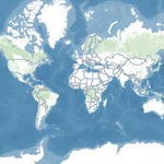
Classic
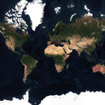
Satellite
Buy 2, get 15% off!
Buy any 5 Album Size maps, get a free cruise album
Couldn't load pickup availability
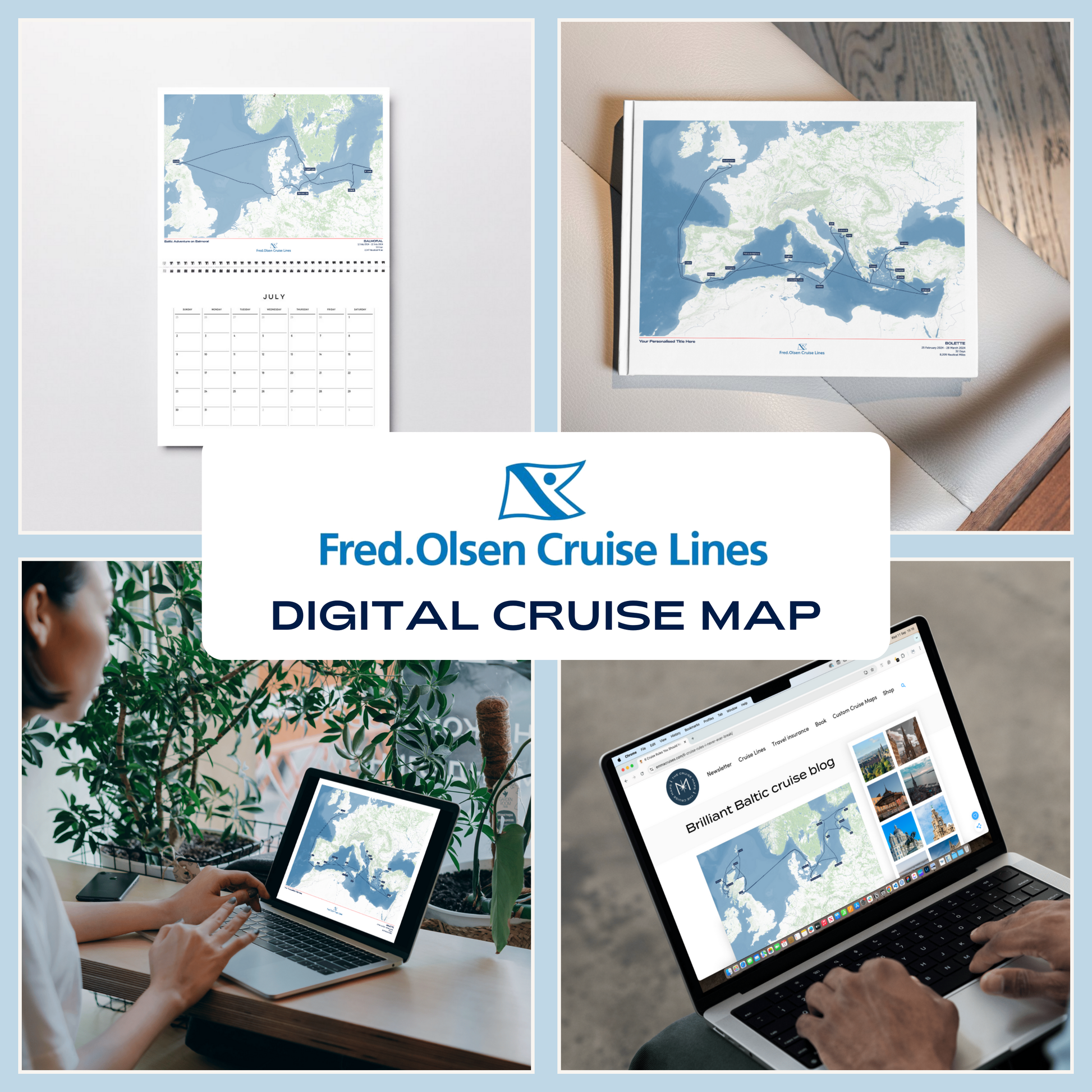
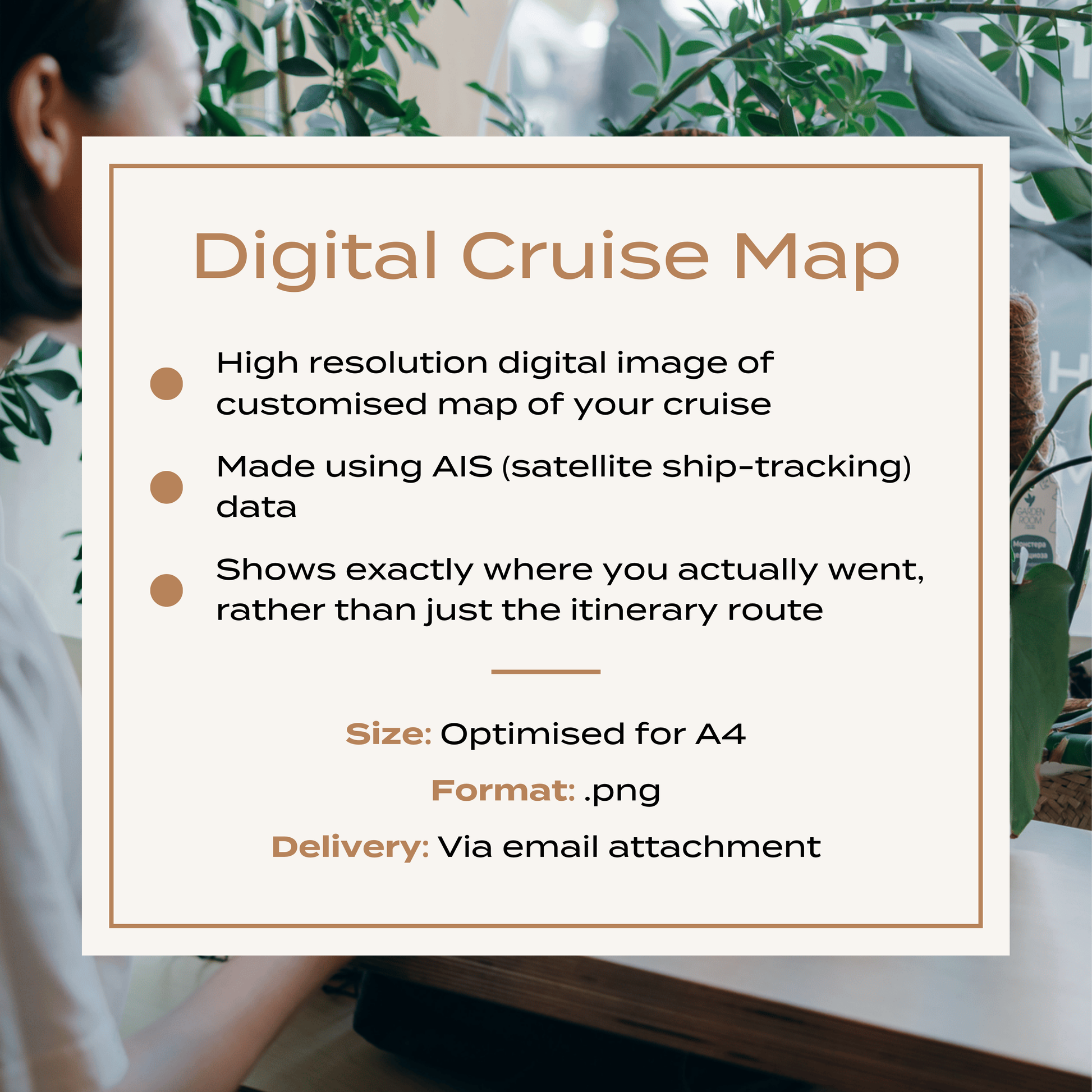
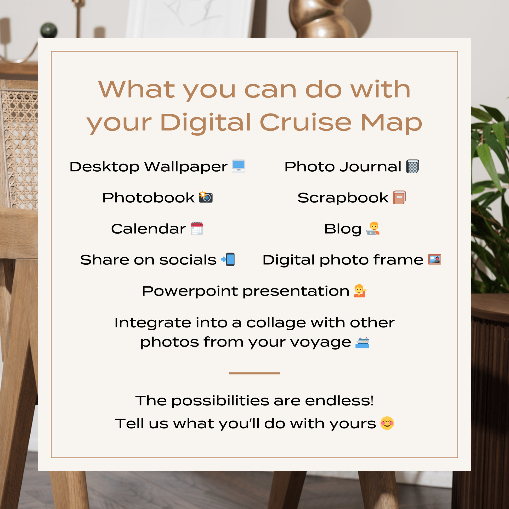
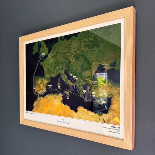
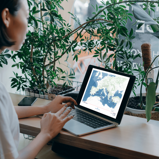
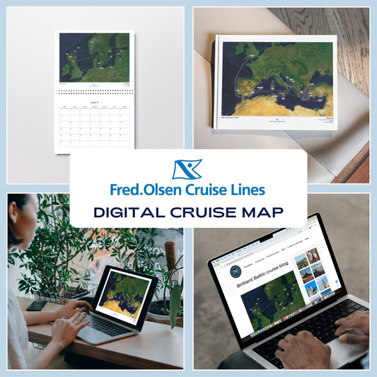
A high resolution digital image of your Custom Cruise Map, perfect for adding to a photo book or calendar, or using in a blog or photo journal.
Just like our printed maps, each one is made to order using AIS (satellite ship-tracking) data to show where you actually went, rather than just the itinerary route.
For older cruises (before 2015) we’ll be in touch via email to request a few more details to create a presumed route for your map.
Please note digital prints are intended for personal use only, and must not be redistributed or resold.
Product Details:
High resolution PNG digital image file
Optimised for A4 (21 x 29.7cm)
Delivered via email attachment
Estimated delivery time: 3 working days
All maps on this page are samples. Your custom map will be built to order.
View full details


The Fred Olsen Collection
-
Fred. Olsen Custom Cruise Map
Regular price From £40.00 GBPRegular priceUnit price per -
Fred. Olsen Custom Cruise Map - Satellite
Regular price From £40.00 GBPRegular priceUnit price per -
Fred. Olsen Digital Cruise Map
Regular price £30.00 GBPRegular priceUnit price per -
Fred. Olsen Digital Cruise Map - Satellite
Regular price £30.00 GBPRegular priceUnit price per
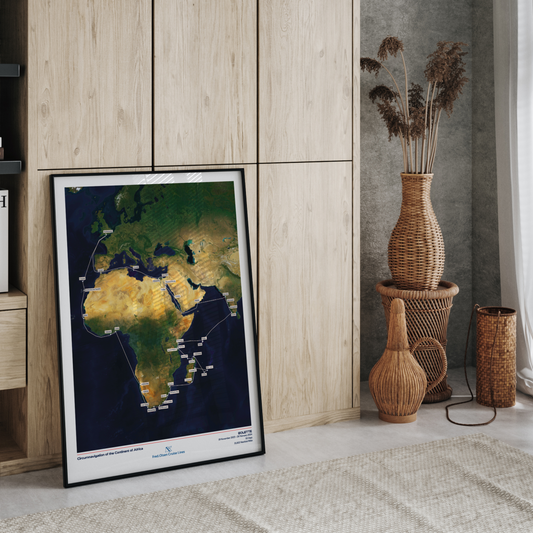


Special Edition Map
EXPLORATION OF SOUTH AMERICA AND THE ANTARCTIC
Treasure the memories of your incredible journey aboard Borealis on the South American and Antarctic voyage with a hand-crafted map. This Special Edition design features an exclusive voyage-specific inlay with your captains' signatures and Fred. Olsen's offical Borealis ship profile.