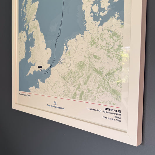
EXPLORATION OF SOUTH AMERICA AND THE ANTARCTIC


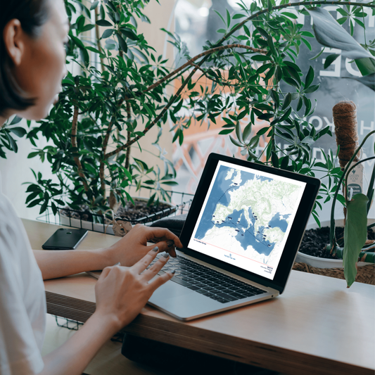
- Customise your map
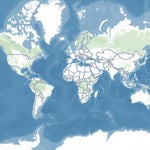
Classic
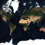
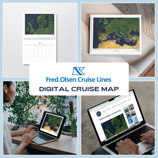
Satellite
Buy 2, get 15% off!
Buy any 5 Album Size maps, get a free cruise album
Free shipping globally on all orders
Couldn't load pickup availability
Looking for a different voyage? Click here for other Fred. Olsen Cruise Map editions
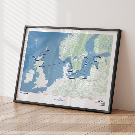
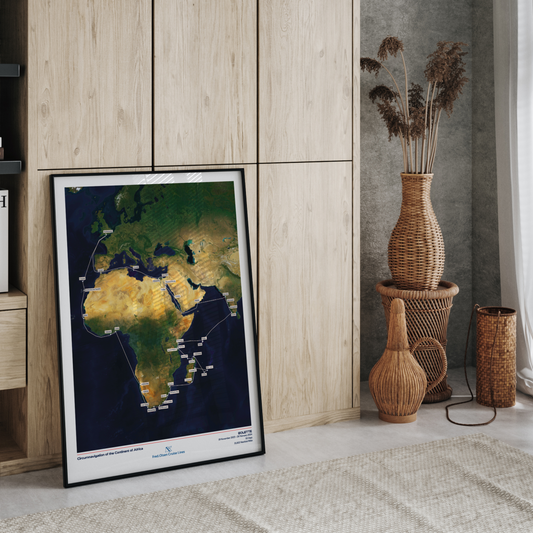
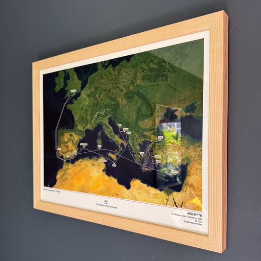
Treasure the memories of your incredible Exploration of South America and the Antarctic aboard Borealis with a hand-crafted map. Created using AIS (satellite ship-tracking) data, this map will show the exact route taken. This Special Edition design features an exclusive voyage-specific inlay with your captains' signatures and Fred. Olsen's offical Borealis ship profile.
Product Details:
Sizes:
- 30x40cm or 12x16” (location dependent)
- 45x60cm or 18x24” (location dependent)
Quality:
- Giclée printing technology
- 200gsm "fine art" paper
- Smooth texture, matt finish
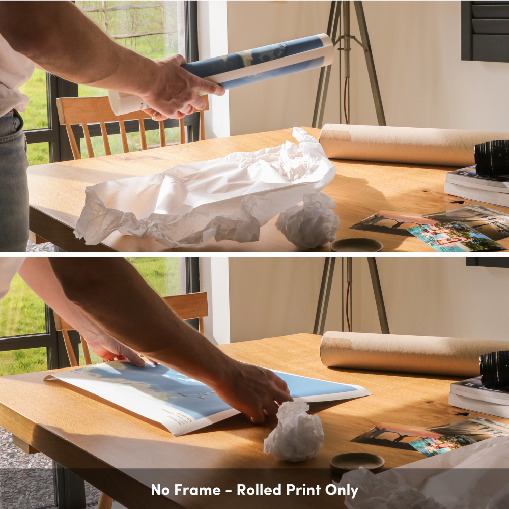
Professional Framing Process:
- Mounted on foam board to provide durability
- Frames hand-crafted using sustainably sourced wood
- Taped back to provide a protective and premium finish
- Delivered ready to hang
All maps on this page are samples. Your custom map will be built to order.
View full details


The Fred Olsen Collection
-
Fred. Olsen Custom Cruise Map
Regular price From £40.00 GBPRegular priceUnit price per -
Fred. Olsen Custom Cruise Map - Satellite
Regular price From £40.00 GBPRegular priceUnit price per -
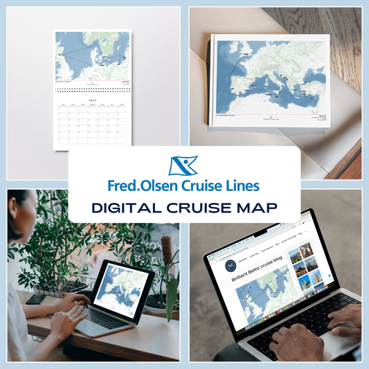
Fred. Olsen Digital Cruise Map
Regular price £30.00 GBPRegular priceUnit price per -
Fred. Olsen Digital Cruise Map - Satellite
Regular price £30.00 GBPRegular priceUnit price per