

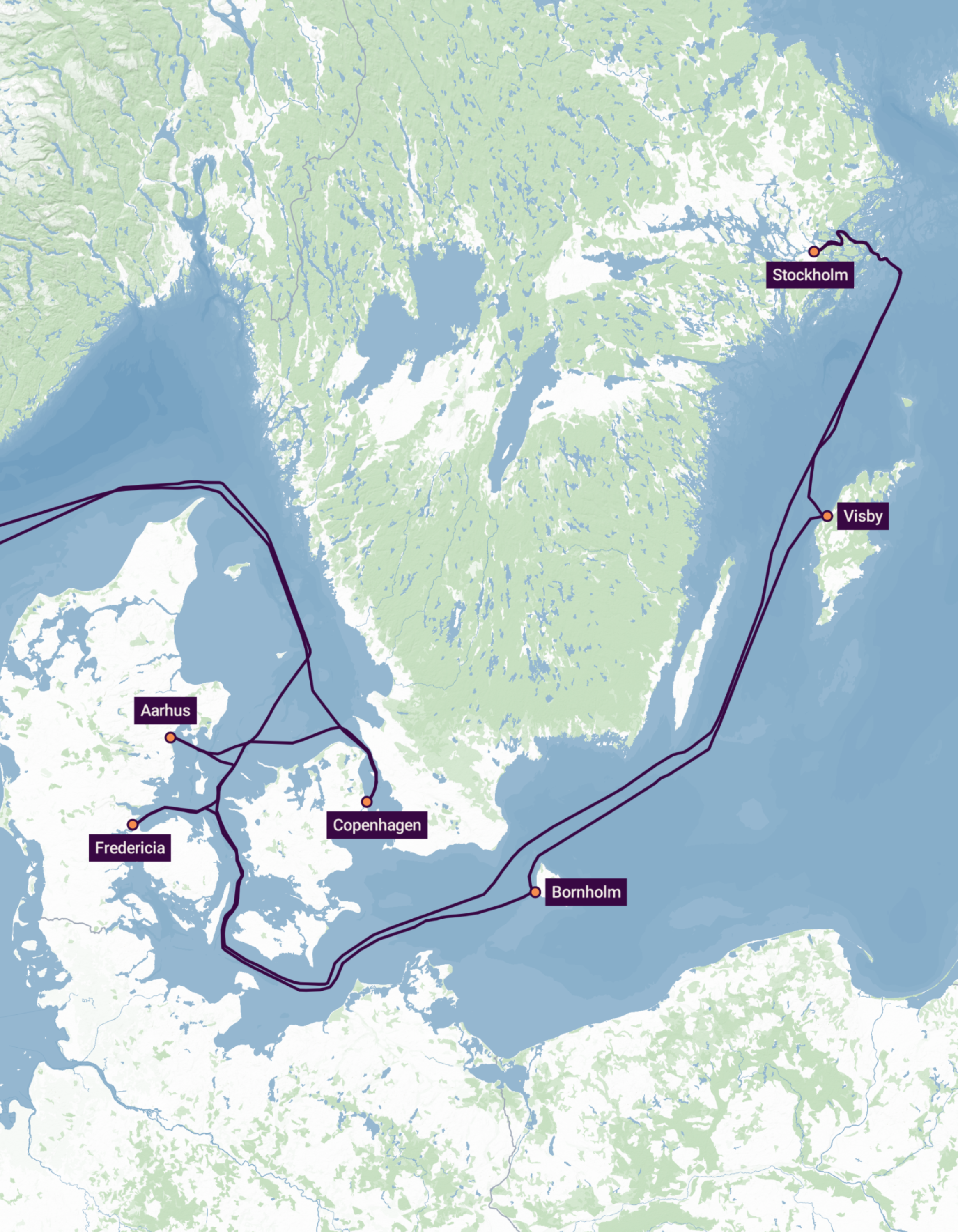
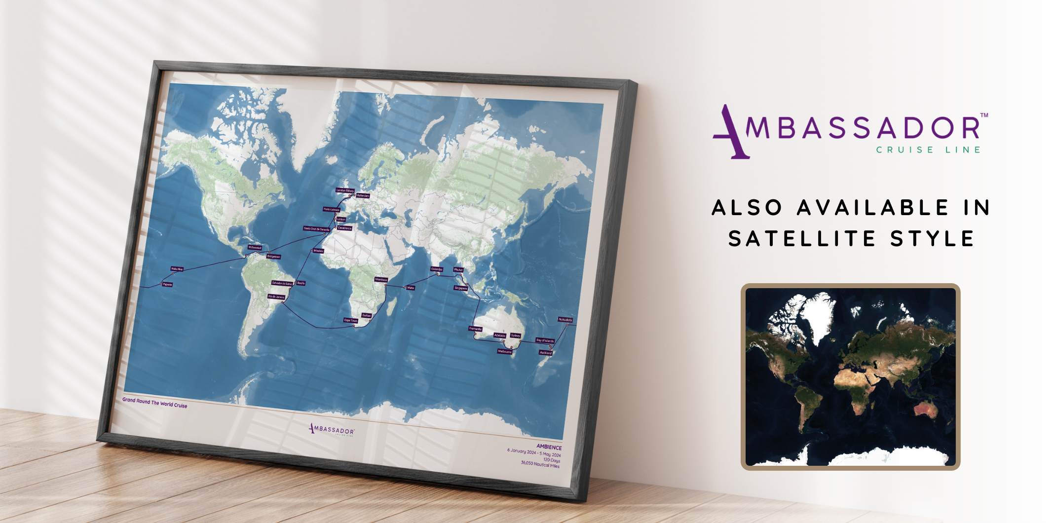
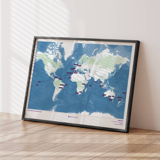
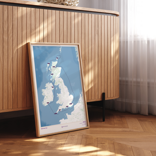
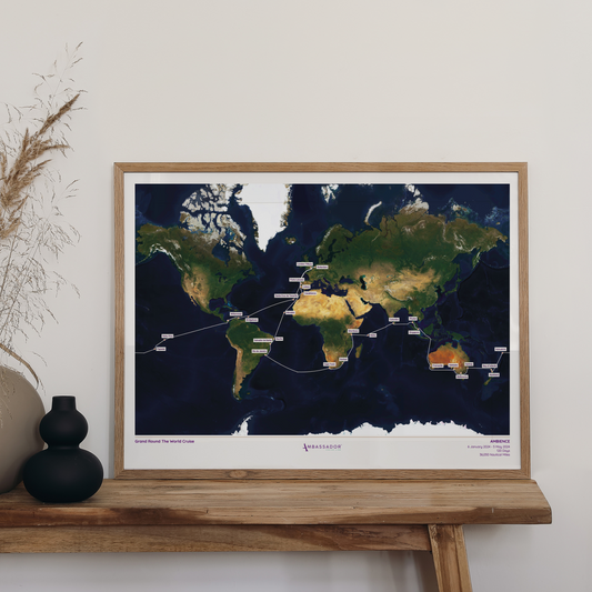
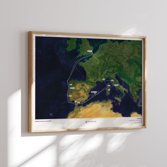
Buy the exact map of your Ambassador Cruise Line sailing
-
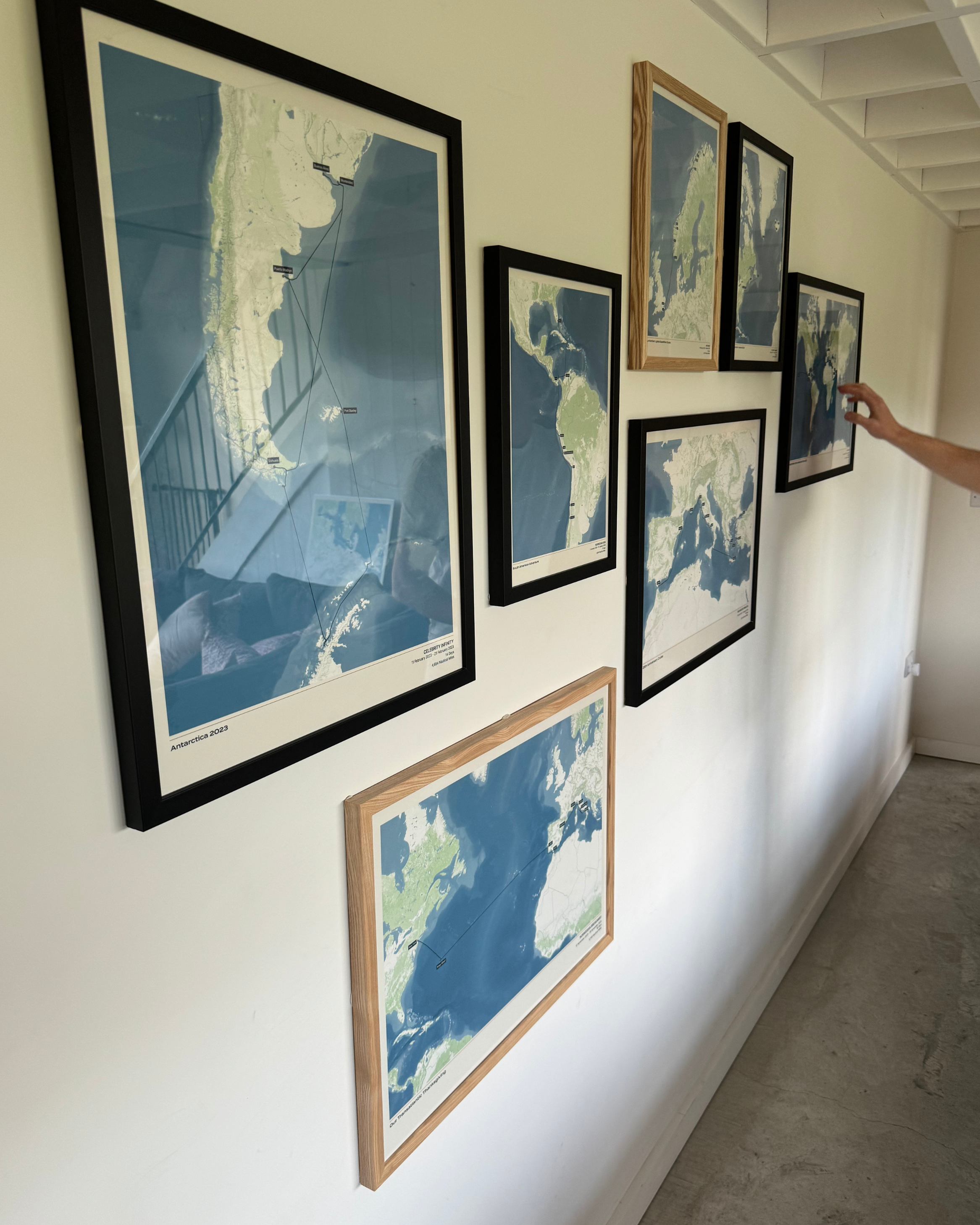
Collect maps for all your holidays
-
100% Accuracy Guaranteed
-
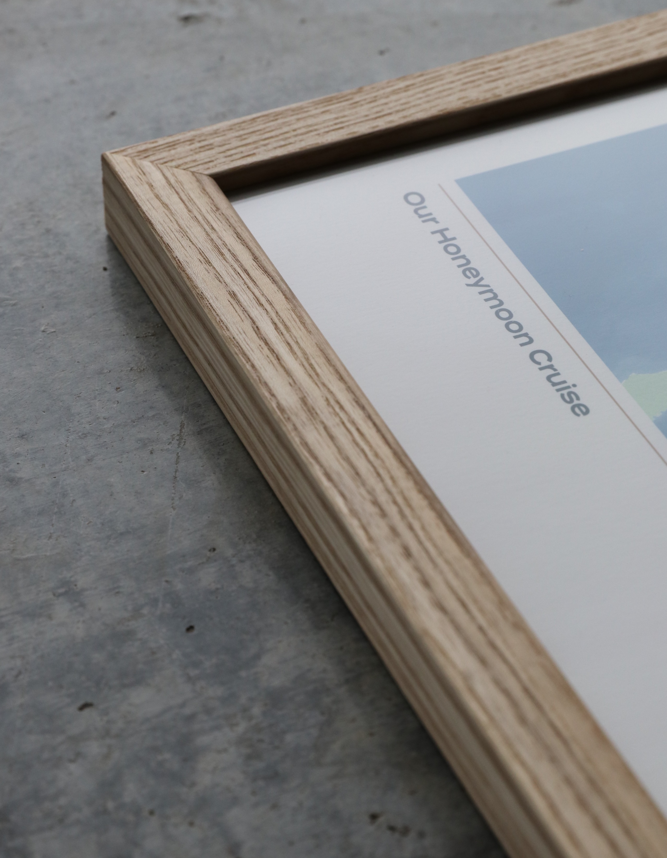
Giclée Fine Art Print & Professional Hand-Crafted Framing
-

Free & Fast Worldwide Shipping


The Ambassador Cruise Line Collection
-
Ambassador Cruise Line Map
Regular price From £40.00 GBPRegular priceUnit price per -
Ambassador Cruise Line Map - Satellite
Regular price From £40.00 GBPRegular priceUnit price per -
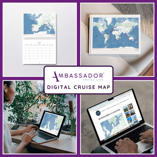
Ambassador Cruise Line Digital Map
Regular price £30.00 GBPRegular priceUnit price per -
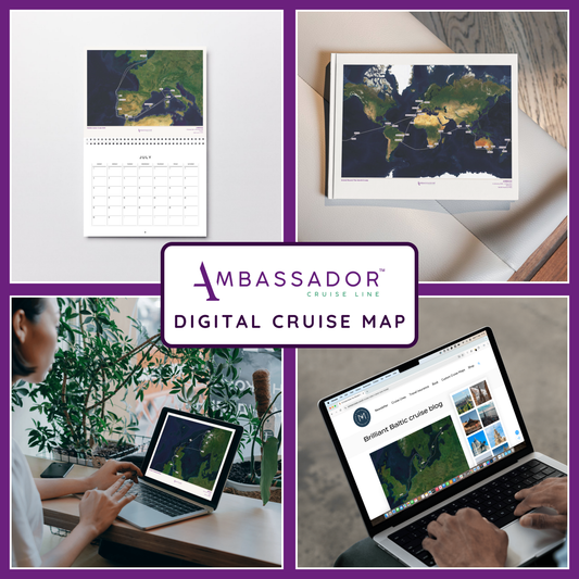
Ambassador Cruise Line Digital Map - Satellite
Regular price £30.00 GBPRegular priceUnit price per


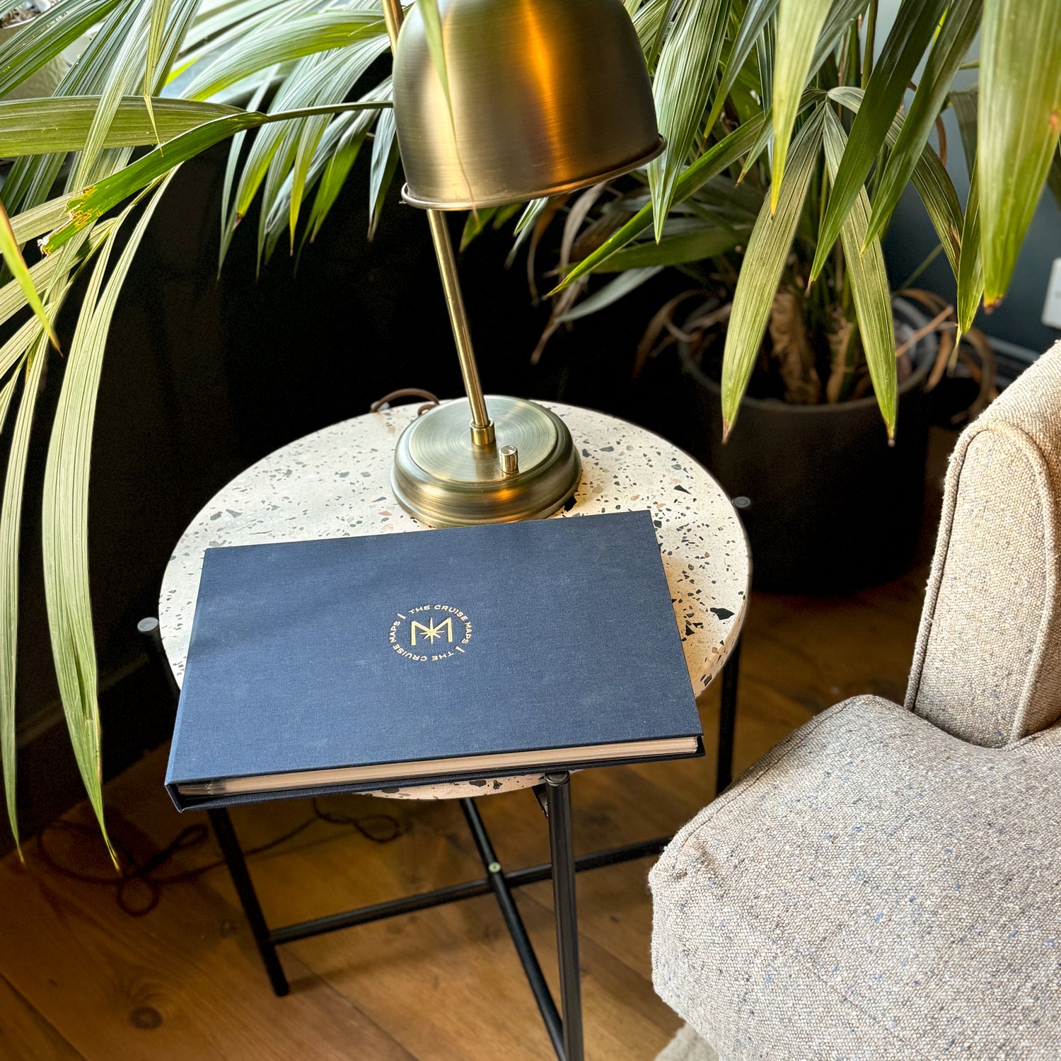
Start your collection with a FREE cruise album
You can now build the ultimate logbook of all of your cruises. Entirely designed and handcrafted in the UK, The Cruise Album displays up to 25 'Album Size' (A4) cruise maps (sold separately) in archival-quality sleeves.