
Our story so far
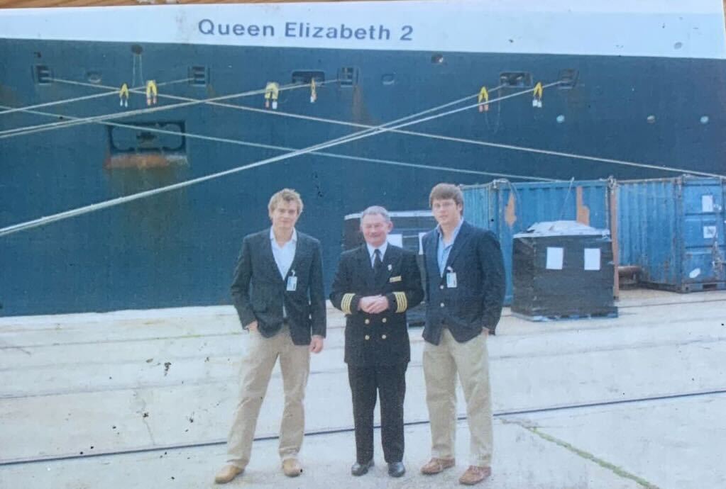
University Housemates - Southampton, UK 2007
The Cruise Maps story starts back in 2007. Matt and Will meet and become housemates at the University of Southampton. Matt is a Geographer and Will a Naval Architect, and they immediately bond over a shared love of travel, ships and the ocean.
‘The Breakfast’ - LONDON
Fast forward 15 years. Will has now spent over a decade working in marine technology, using AIS ship tracking data in the insurance industry. Matt has been forging a career in Publishing. After just one serendipitous (and very excitable) breakfast in London, they decide to test whether AIS data could create a totally accurate and high-quality print map of a cruise journey.
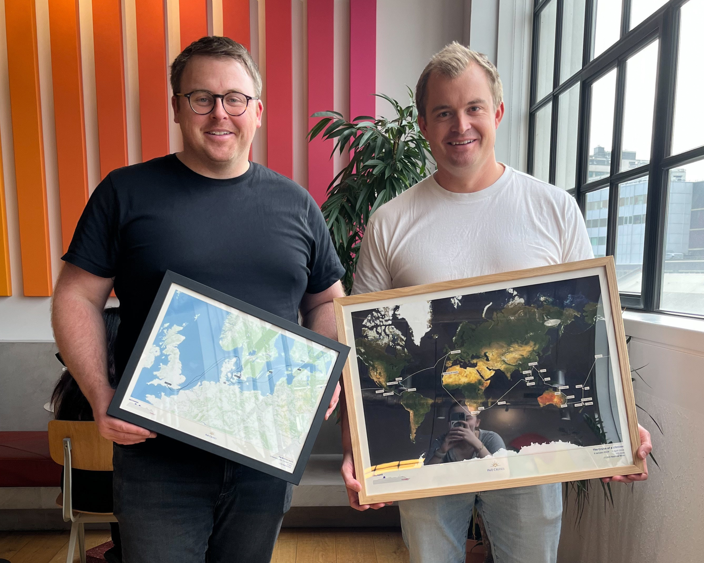
The Cruise Maps is born!
The prototype cruise map immediately attracts a lot of attention. The Cruise Maps is officially born - the world’s first personalised and entirely accurate print maps for cruise passengers. Matt and Will both quit their day jobs to dedicate all of their attention to perfecting the maps.
“We believe in quality and building products that last. We’re perfectionists at heart and we want to create something completely unique that stands the test of time” - Will, Co-founder
Emma - The Final
Co-Founder
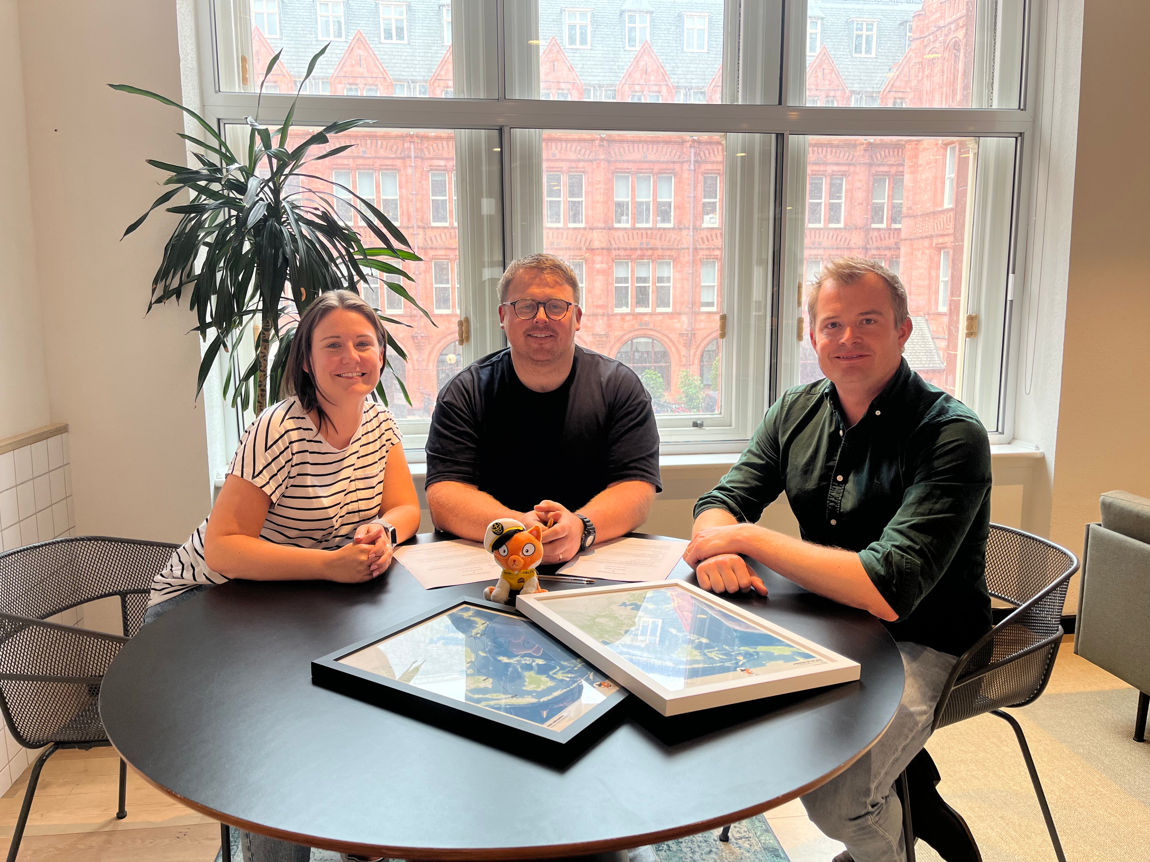
In late 2023, Matt and Will met Emma, who built the amazing community at ‘Emma Cruises’. It’s immediately clear that they all have the same exciting vision for maps within the cruise industry, so Emma joins the team as the 3rd co-founder and the final piece of the puzzle.
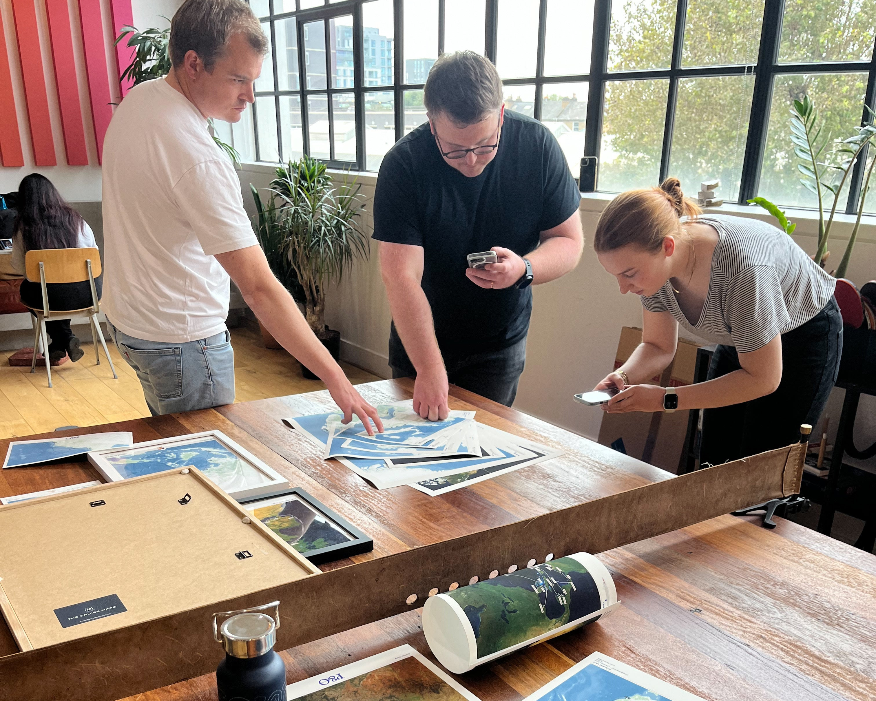
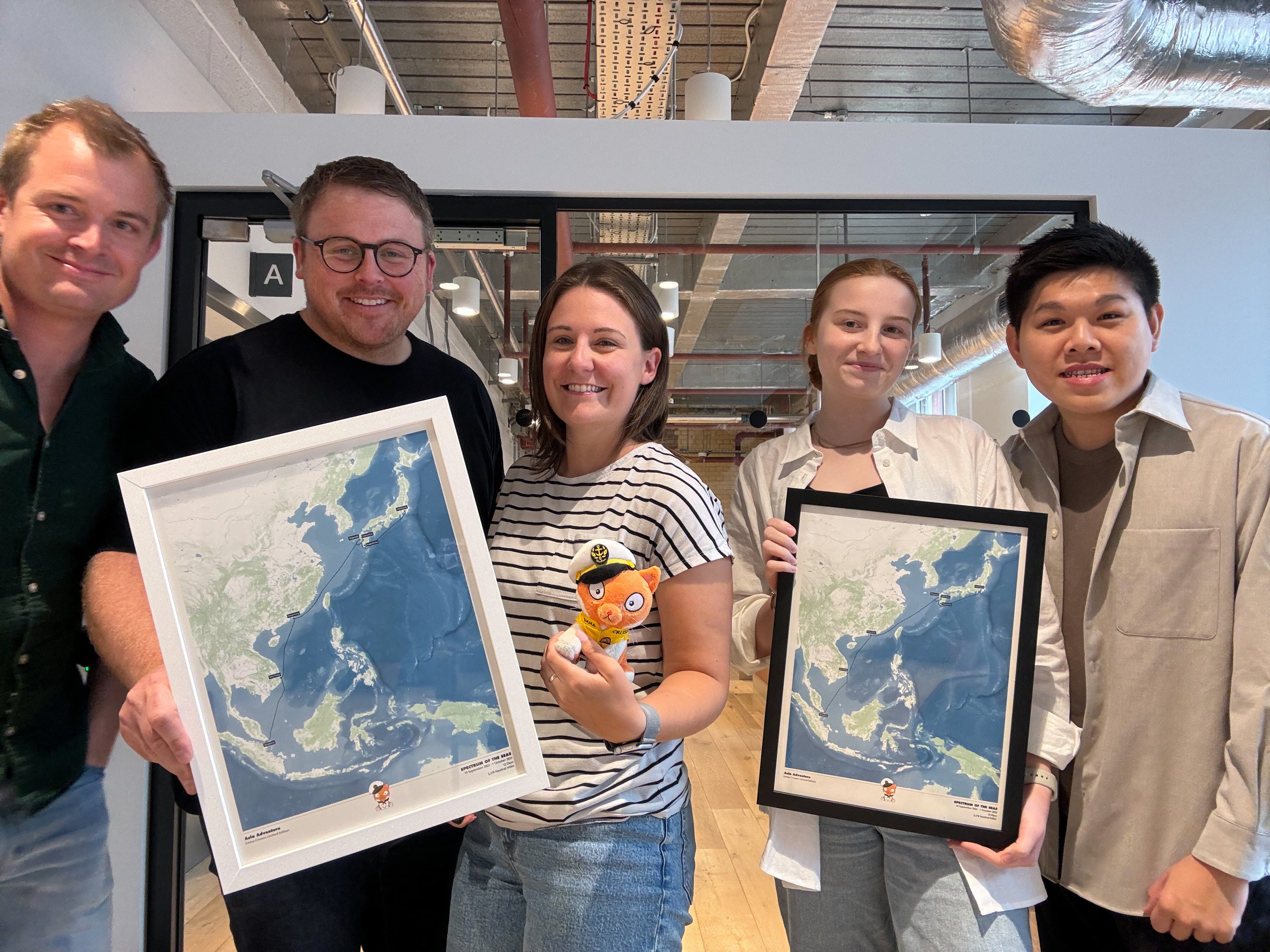
The Team Starts to grow!
In 2024, an amazing team starts to assemble at The Cruise Maps. New map styles get designed, the first ever Cruise Album gets released and whole weeks get spent agonising over perfecting the quality of the maps. Incredible partnerships are forged with some of the world’s most historic cruise lines (P&O, Marella, Cunard, and Fred. Olsen to name but a few) to create unique co-branded maps.
“When I met Will and Matt, it was immediately clear that we had to work together long-term. We have the same exact vision for innovation in the cruise industry” - Emma, Co-founder
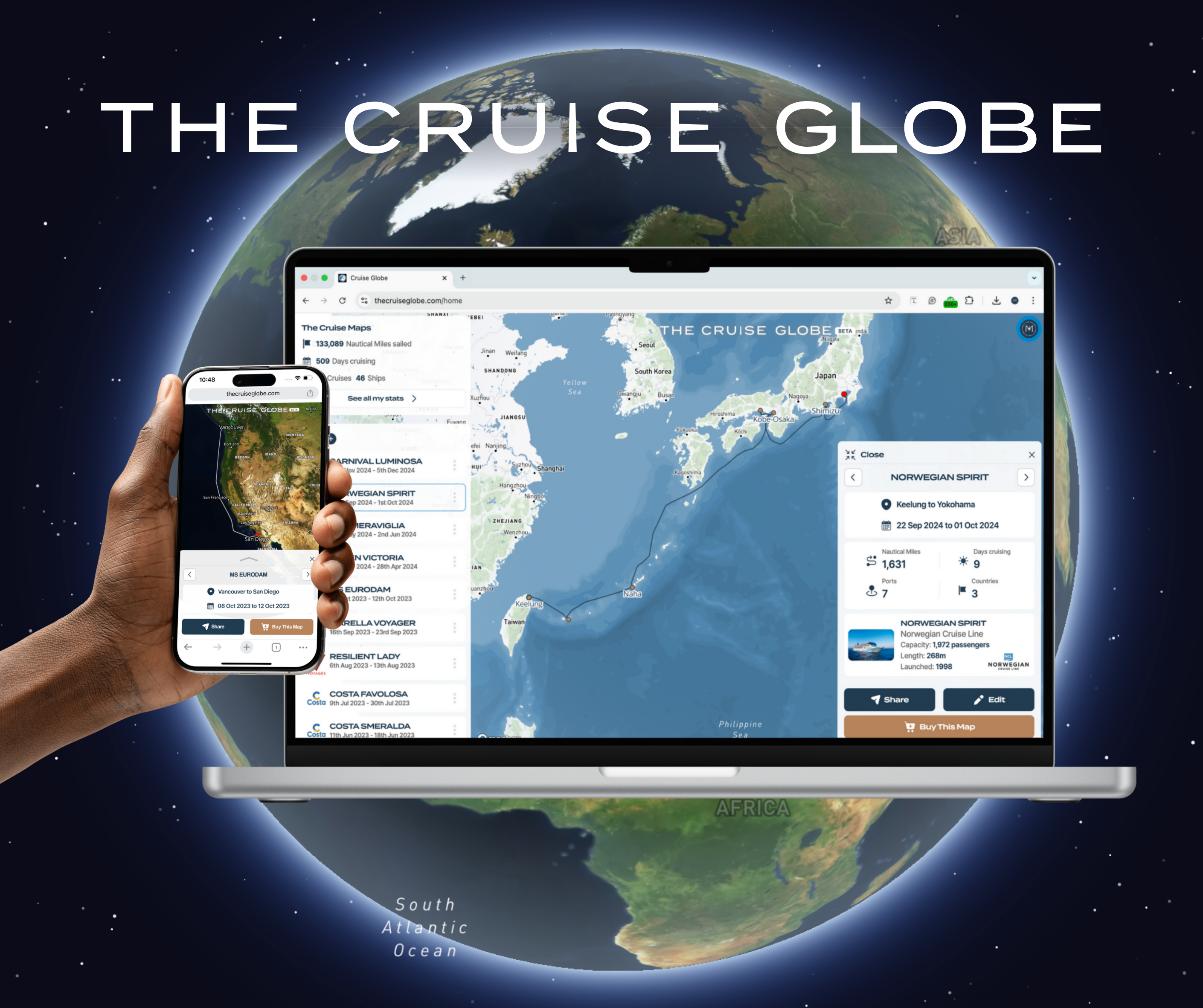
‘The Ultimate Cruise Logbook’
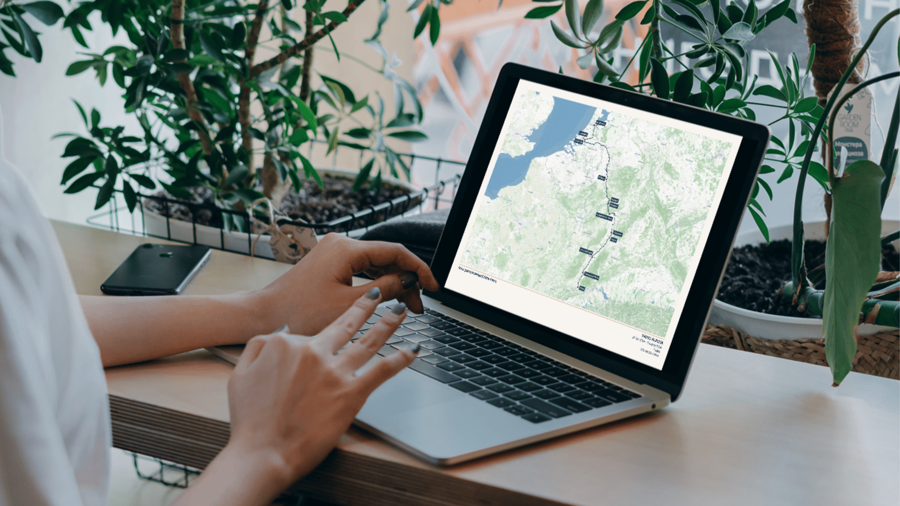
Now, for another world first - The Cruise Globe. In 2025, the team at The Cruise Maps introduced the first ever digital platform where cruisers can log their entire cruise history on a map - for free - and then see all of their collective stats. The platform uses the same historical AIS satellite ship tracking data as The Cruise Maps, but makes it accessible and interactive to every cruise passenger in the world.
“I’ve always felt a deep affinity to cruising and, in particular, ocean liners. Our work on The Cruise Maps and The Cruise Globe is the culmination of a lifelong fascination with all things maritime cartography” - Matt, Co-founder
Meet Our Founders
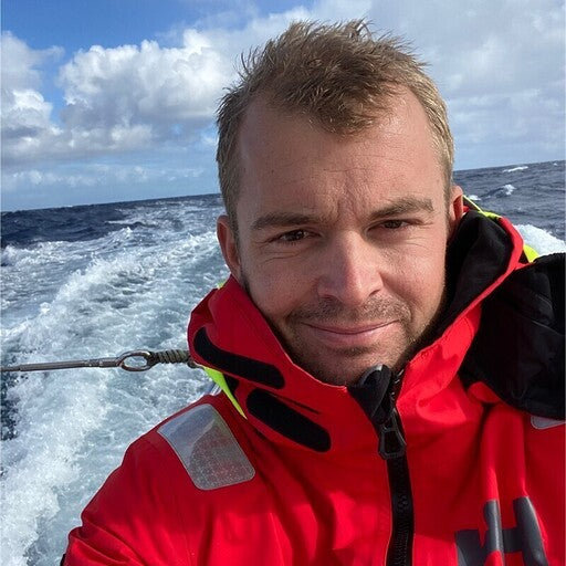
Will Ellison
Co-founder
Will is the nautical brains behind the operation! A naval architect by trade, Will has been working with AIS satellite data from ships for over 15 years. An avid sailor, Will lives in coastal Norfolk and spends most of his free time on the water. He even raced a yacht across the Atlantic in 2022! Will leads all of the technology behind both The Cruise Maps and The Cruise Globe.

Matthew Jones
Co-founder & CEO
Born and raised in Hong Kong (to two sea-faring parents), Matt grew up surrounded by maps and the sea. Having then studied and taught Geography, he set up a business in Publishing before finding his way to the cruise industry. Matt’s favourite ship is unquestionably the QE2 (his parent’s old ship in the 80s) and he currently runs all marketing and partnerships at The Cruise Maps and The Cruise Globe.
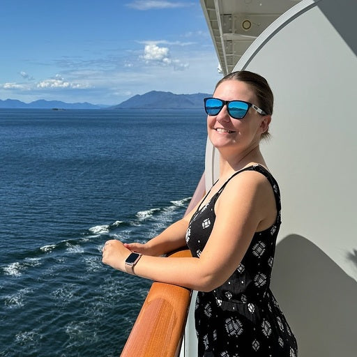
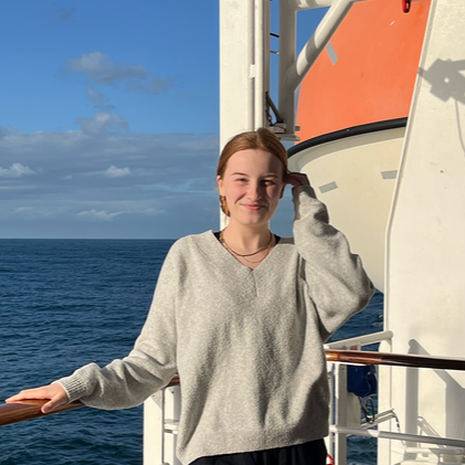
Emma Le Teace
Co-founder
There isn’t much that Emma doesn’t know and love about Cruising! Having been on over 70 cruises to date, Emma has spent the last 7 years building up the Emma Cruises brand, which has become one of the biggest cruise communities on Youtube and social media. Emma helps guide every development at The Cruise Maps and The Cruise Globe, from new product development through to marketing and partnerships.
Our Team

Angus
Technical Operations Manager

Kareem
Head of Partnerships
Polly
Head of Product

Rich
Senior Data Engineer
-
-
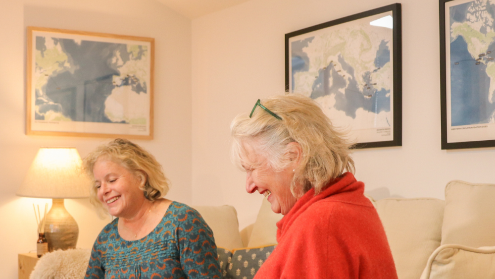
Shop our bestsellers
Find YOUR cruise mapExplore our range of 100% accurate cruise maps. With different styles to suit everyone's preferences!

