
How it works
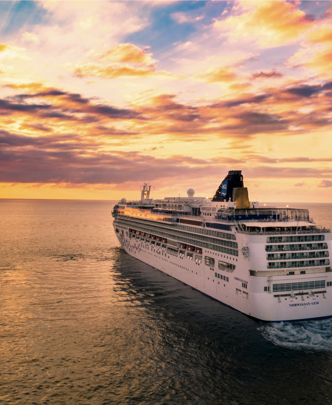
Ship tracking
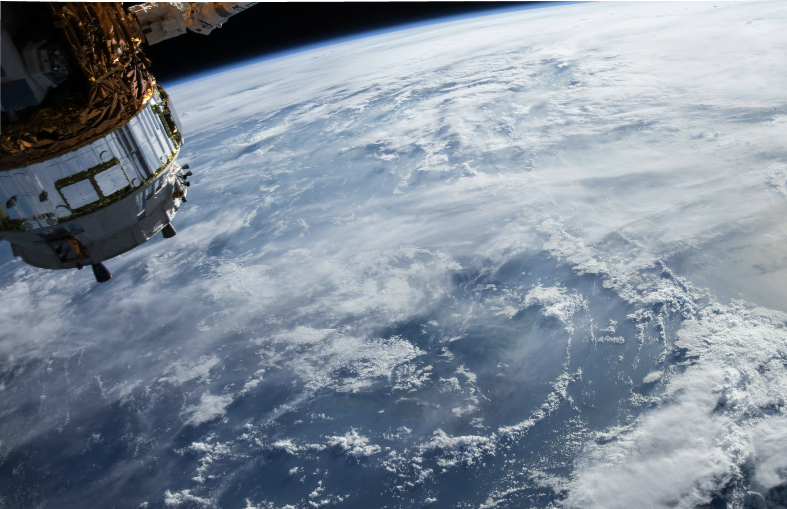
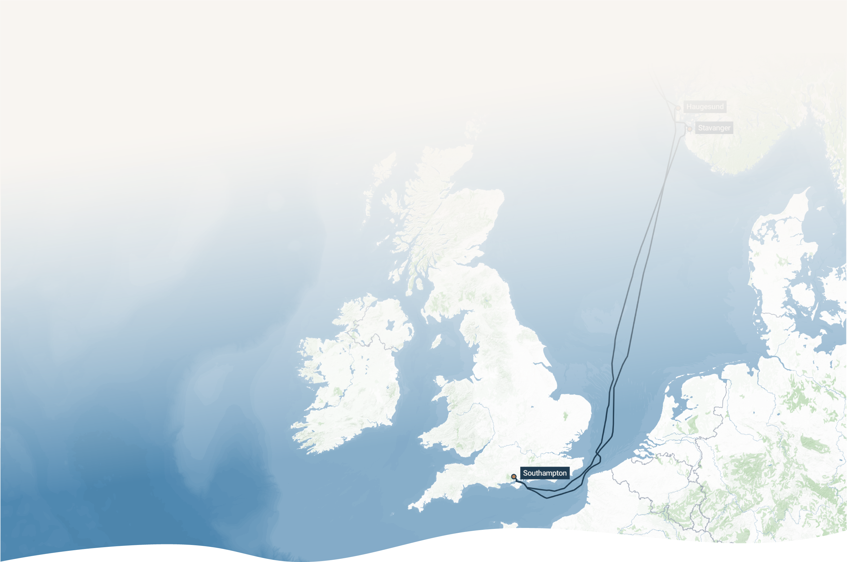
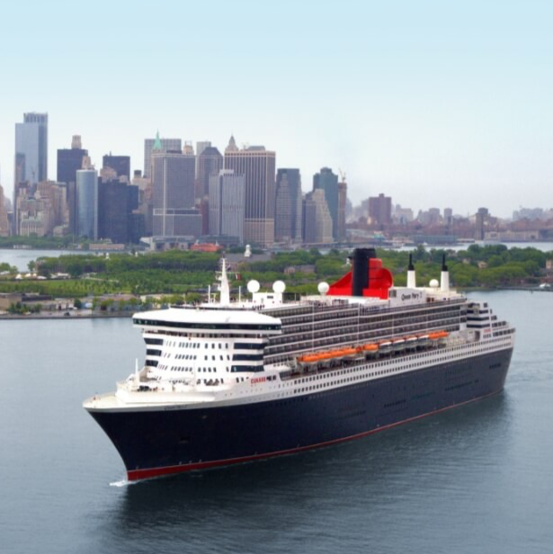
It all starts with your cruise shipʼs navigation system. Automatic Identification System (AIS) tracking is the culmination of literally thousands of years of ship navigation technology. It was designed to help seafarers identify other ships and safely navigate the busy seas, but it also lets us remotely follow the progress of every ship in the world in real time.
Mapping cruises from before 2015
The AIS data we use to map the exact route of your cruise only goes back as far as the start of 2015. But don't worry if you have cruises from before then that you want to map! We have created new technology which allows us to reconstruct estimated routes of historic voyages from our extensive library of real cruise routes so your map will still be based on how ships actually sail between any two given ports, rather than guesswork!

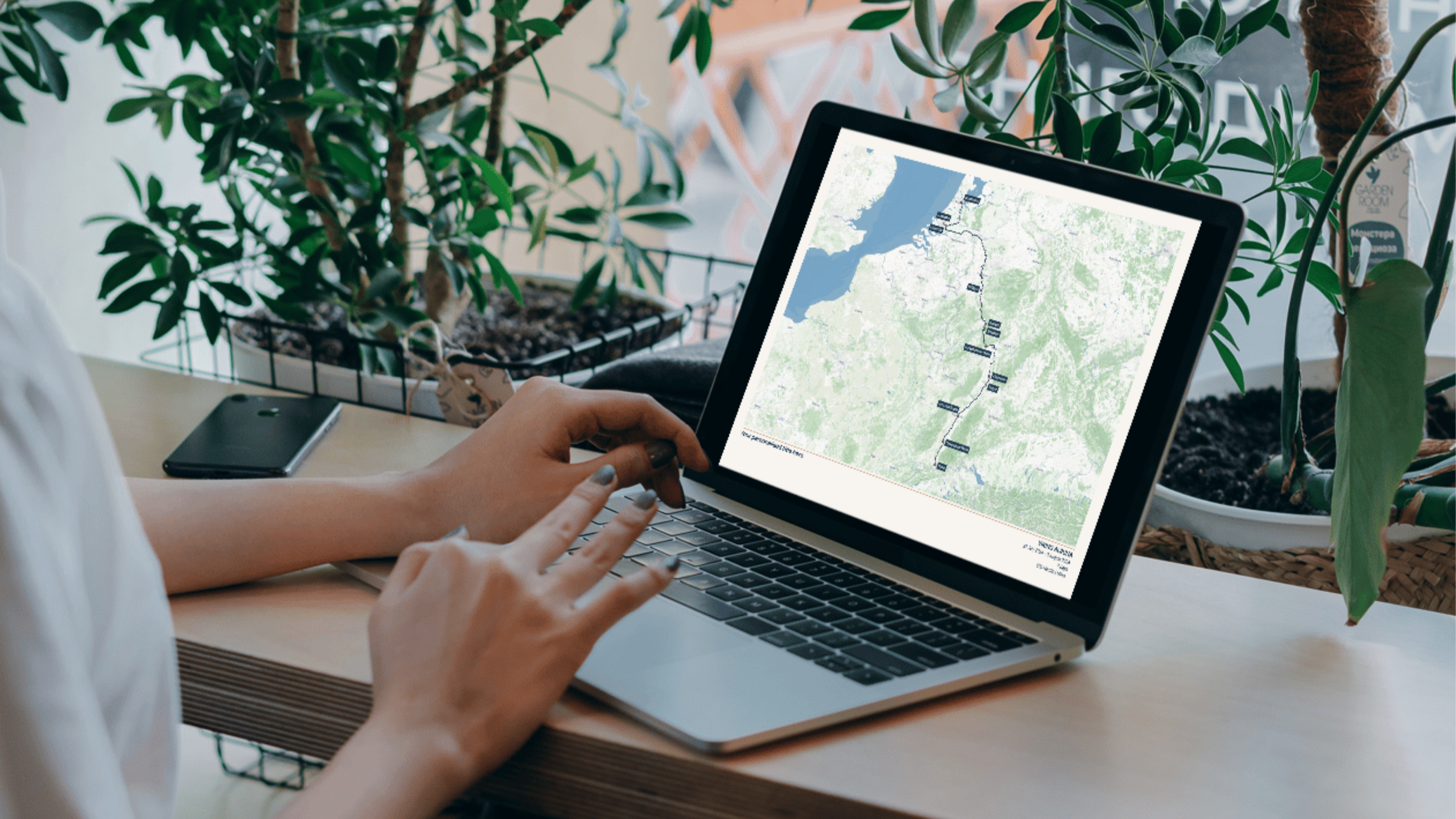
Mapping software
Web-based maps, like the ones we use on our phones to get around, are now so common itʼs easy to forget how much technology is behind them.
We have worked closely with our partners at Maptiler to adapt this technology to generate ultra high resolution maps (much higher than you would normally get for a web map), and combine this with the detail of your voyage to create the final map that is ready for print.

-
-
Shop our bestsellers
Find YOUR cruise mapExplore our range of 100% accurate cruise maps. With different styles to suit everyone's preferences!

