Template suffix: paul-and-carole2026 Show disclaimer: false Media type:
image
Template suffix: paul-and-carole2026 Show disclaimer: false Media type:
image
Template suffix: paul-and-carole2026 Show disclaimer: false Media type:
image
Template suffix: paul-and-carole2026 Show disclaimer: false Media type:
image
Template suffix: paul-and-carole2026 Show disclaimer: false Media type:
image
Template suffix: paul-and-carole2026 Show disclaimer: false Media type:
image
Template suffix: paul-and-carole2026 Show disclaimer: false Media type:
image
Template suffix: paul-and-carole2026 Show disclaimer: false Media type:
image
Template suffix: paul-and-carole2026 Show disclaimer: false Media type:
image
Template suffix: paul-and-carole2026 Show disclaimer: false Media type:
image
Template suffix: paul-and-carole2026 Show disclaimer: false Media type:
image
Template suffix: paul-and-carole2026 Show disclaimer: false Media type:
image
Template suffix: paul-and-carole2026 Show disclaimer: false Media type:
image
Template suffix: paul-and-carole2026 Show disclaimer: false Media type:
image
Template suffix: paul-and-carole2026 Show disclaimer: false Media type:
image
1 / of15
Customise your map
Your ports are loading...
dd.mm.yyyy
Start date must be before the end date
Start date must be 2015 onwards
Your ports are loading...
dd.mm.yyyy
End date must be after the start date
End date must be 2015 onwards
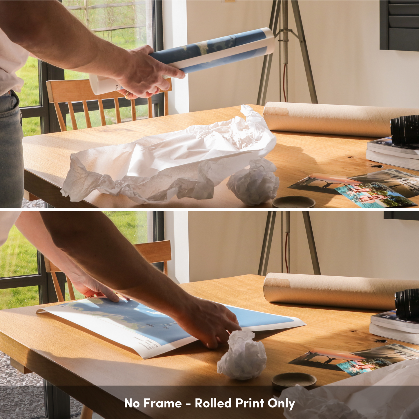
Please note your map will be delivered after you have finished your cruise
Checking your details
Your cruise is already in our system
This means that we can show you a low-resolution preview of your route. This is not the final product. Your final map will show port labels, and be in the style you choose below. It will also use the full AIS dataset for a high-resolution finish. All maps are double-checked by our expert team of (human) map-makers before printing.
We have the data for your cruise
You’re the first person to map this cruise! The AIS data from your ship will be hand-checked by one of our expert map-makers before your final map is created. You can request a preview for your map before it is sent to you by replying to your order confirmation email.
Route checker:
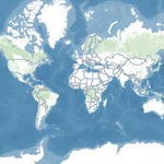
Classic
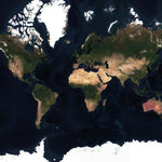
Satellite
Regular price
£48.00 GBP
Regular priceSale price
£48.00 GBP
Unit price/ per
Sale
Sold out
Tax included.
Buy 2, get 15% off!
Buy any 5 Album Size maps, get a free cruise album
Free shipping globally on all orders
Couldn't load pickup availability
The official map of Paul and Carole's Members Cruise aboard Queen Victoria, 2026!
Each map is made to order using AIS (satellite ship-tracking) data to show where you actually went, rather than just the itinerary route. Just give your map a title and we'll do the rest.
Start your collection now. Get a FREE cruise album when you buy any 5 Album Size maps. Simply add your Album Size maps and Cruise Album to cart and the discounts will apply automatically - see here for details