-
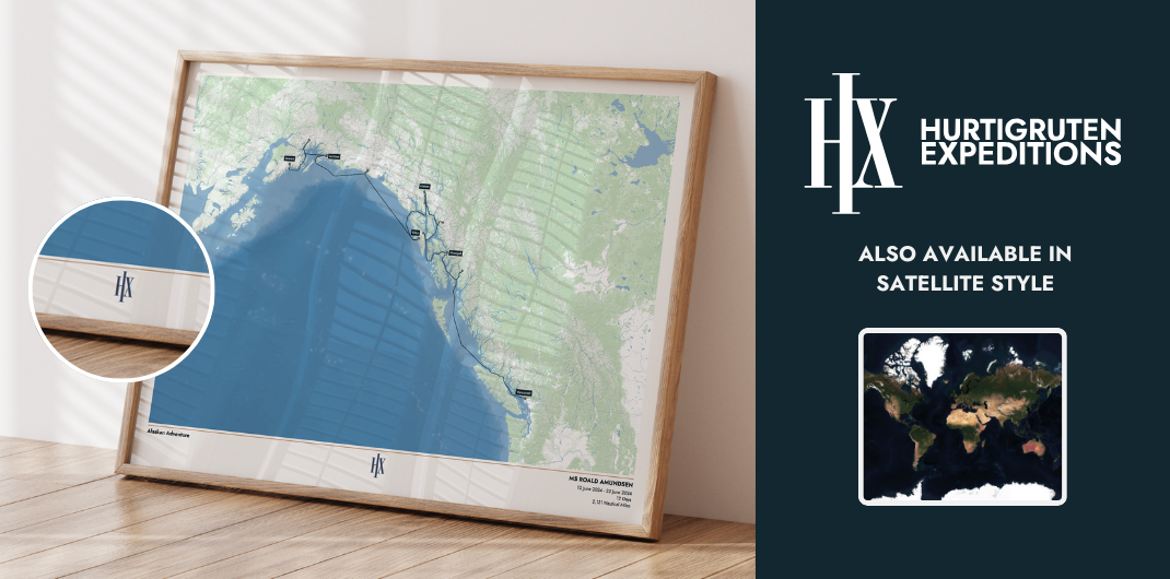
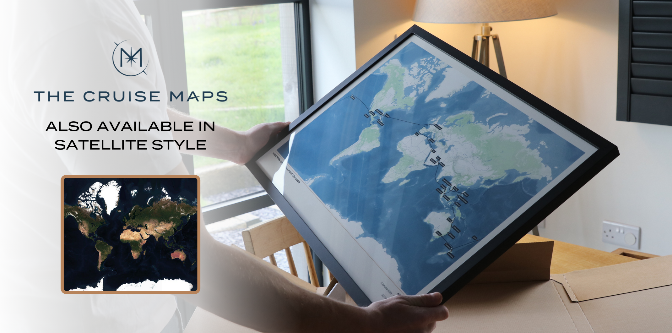
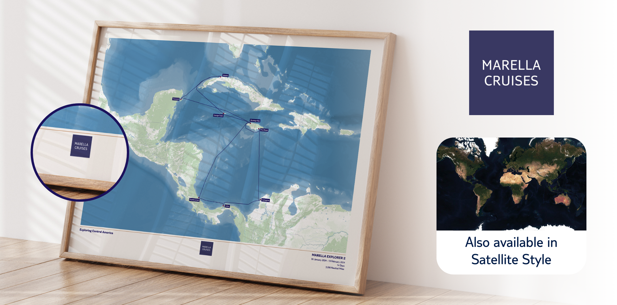
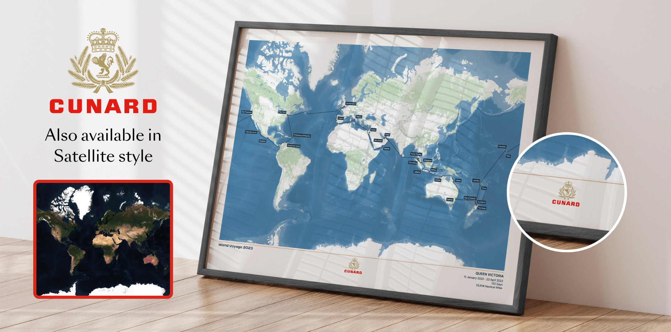
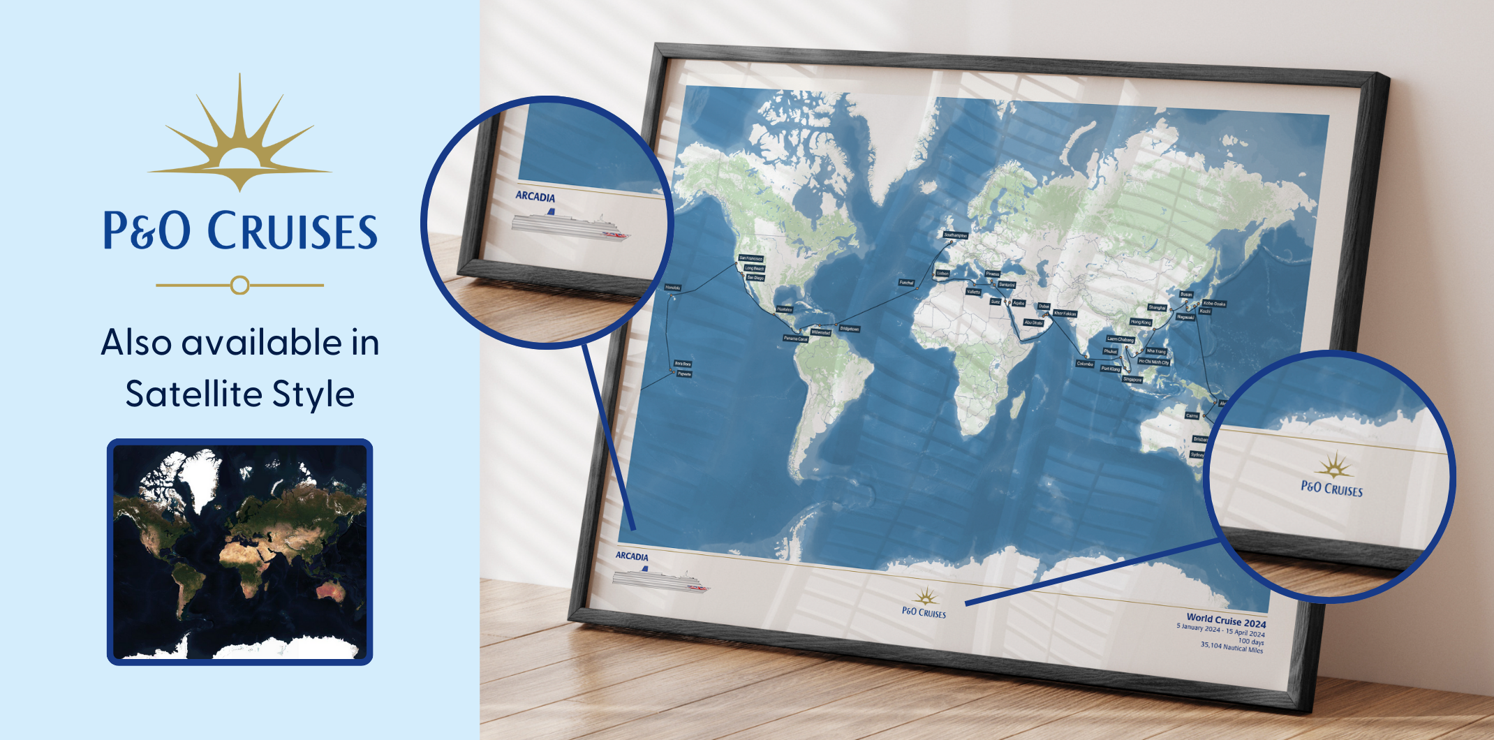
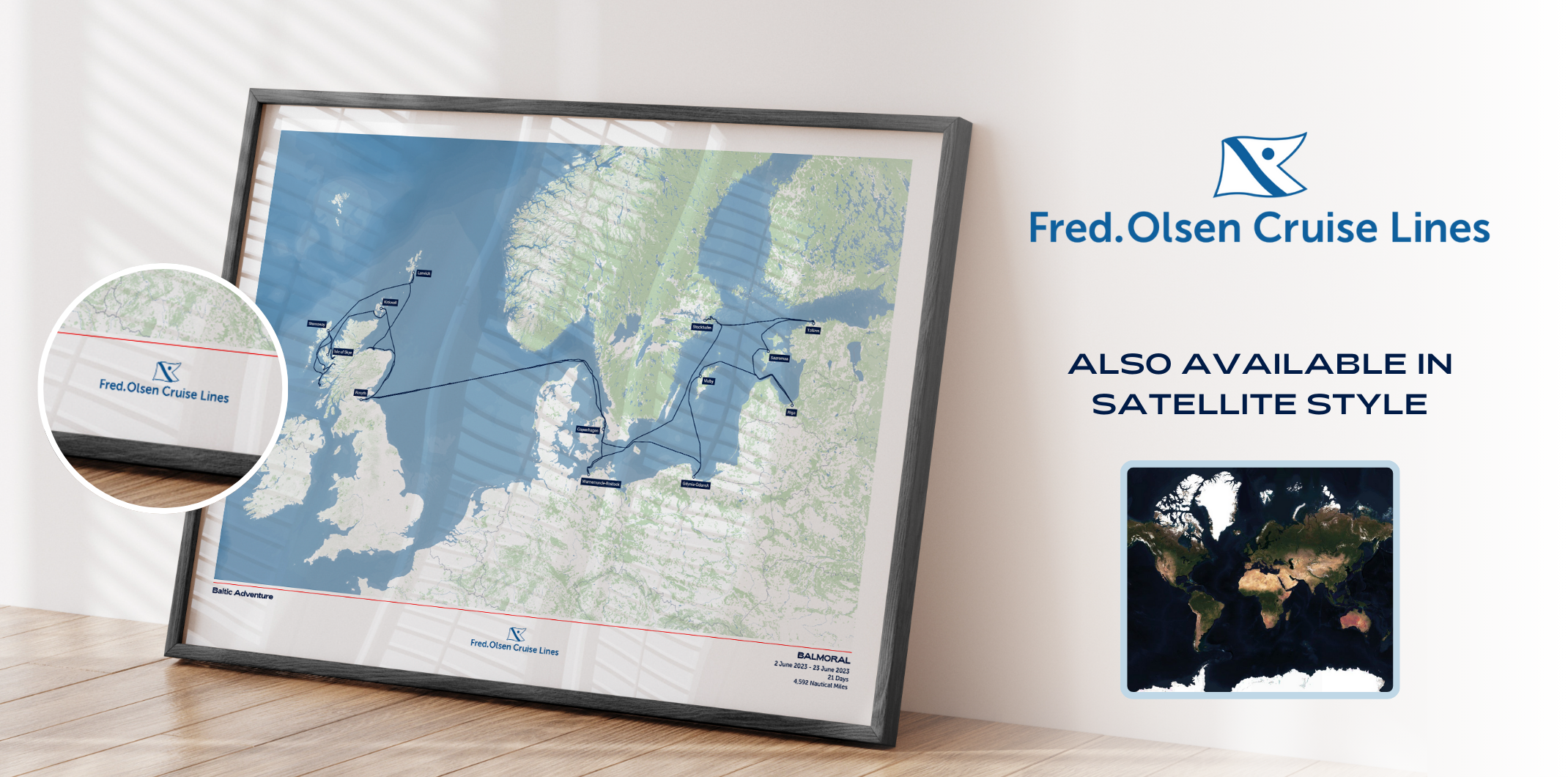
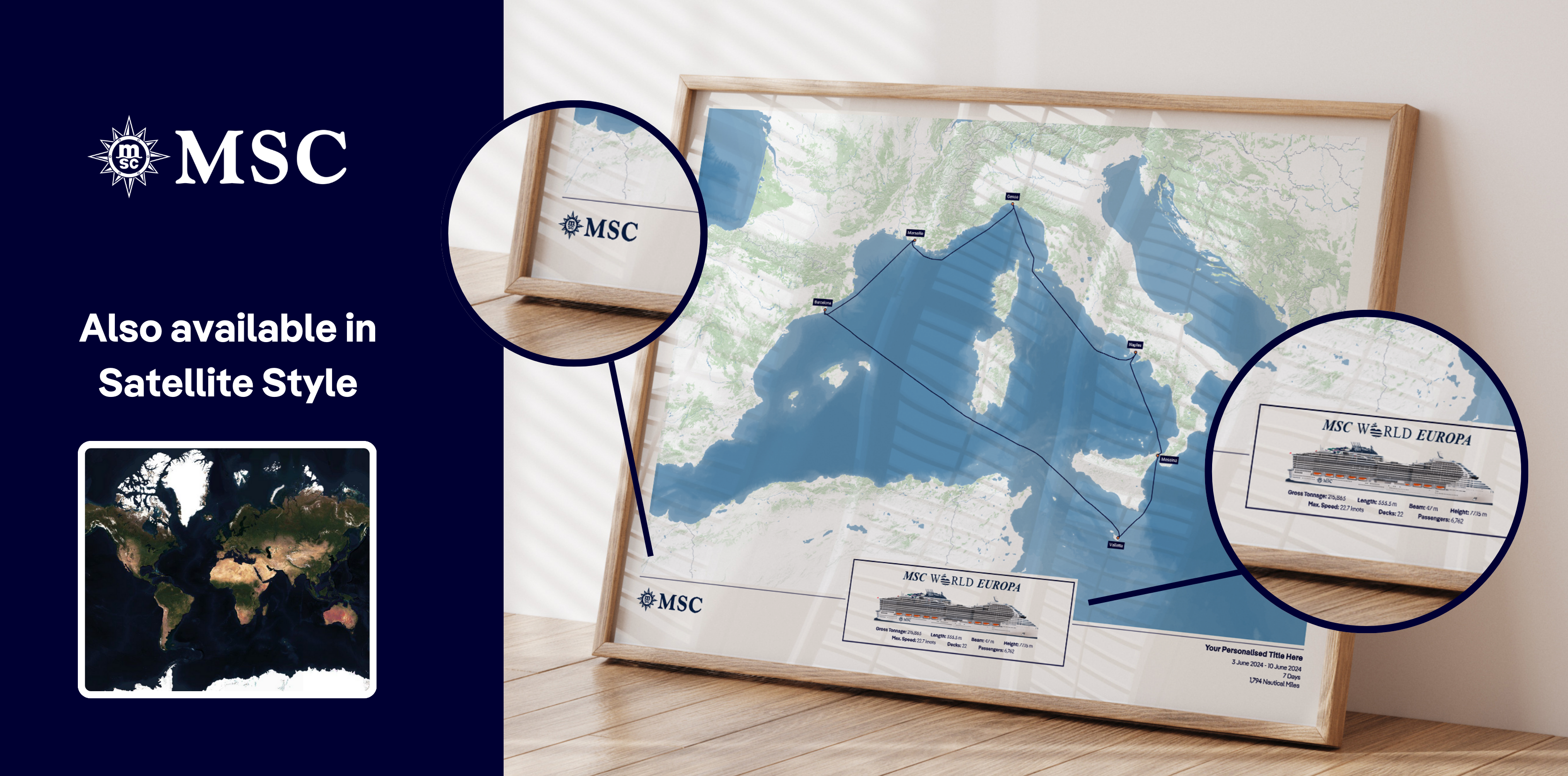
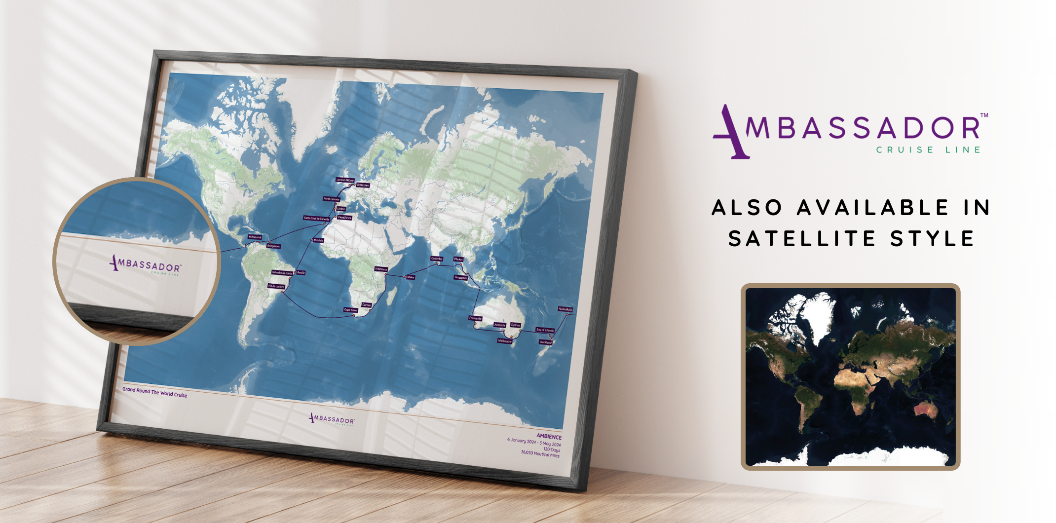
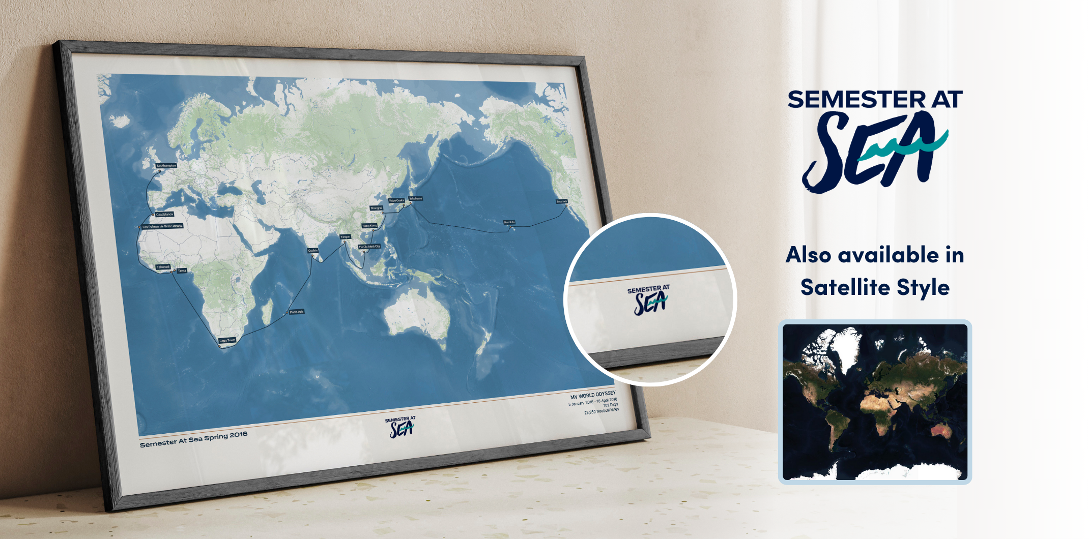
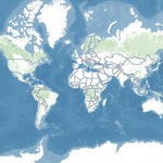
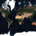
All maps shown in these images are sample routes. When you order a map, we guarantee that it will show your exact route.

-
All maps shown in these images are sample routes. When you order a map, we guarantee that it will show your exact route.

-
All maps shown in these images are sample routes. When you order a map, we guarantee that it will show your exact route.

-
All maps shown in these images are sample routes. When you order a map, we guarantee that it will show your exact route.

-
All maps shown in these images are sample routes. When you order a map, we guarantee that it will show your exact route.

-
All maps shown in these images are sample routes. When you order a map, we guarantee that it will show your exact route.

-
All maps shown in these images are sample routes. When you order a map, we guarantee that it will show your exact route.

-
All maps shown in these images are sample routes. When you order a map, we guarantee that it will show your exact route.

-
All maps shown in these images are sample routes. When you order a map, we guarantee that it will show your exact route.

-
All maps shown in these images are sample routes. When you order a map, we guarantee that it will show your exact route.

-
All maps shown in these images are sample routes. When you order a map, we guarantee that it will show your exact route.

-
All maps shown in these images are sample routes. When you order a map, we guarantee that it will show your exact route.

-
All maps shown in these images are sample routes. When you order a map, we guarantee that it will show your exact route.

-
All maps shown in these images are sample routes. When you order a map, we guarantee that it will show your exact route.

-
All maps shown in these images are sample routes. When you order a map, we guarantee that it will show your exact route.

-
All maps shown in these images are sample routes. When you order a map, we guarantee that it will show your exact route.

-
All maps shown in these images are sample routes. When you order a map, we guarantee that it will show your exact route.

-
All maps shown in these images are sample routes. When you order a map, we guarantee that it will show your exact route.

-
All maps shown in these images are sample routes. When you order a map, we guarantee that it will show your exact route.

-
All maps shown in these images are sample routes. When you order a map, we guarantee that it will show your exact route.

-
All maps shown in these images are sample routes. When you order a map, we guarantee that it will show your exact route.

-
All maps shown in these images are sample routes. When you order a map, we guarantee that it will show your exact route.

-
All maps shown in these images are sample routes. When you order a map, we guarantee that it will show your exact route.

-
All maps shown in these images are sample routes. When you order a map, we guarantee that it will show your exact route.

-
All maps shown in these images are sample routes. When you order a map, we guarantee that it will show your exact route.

-
All maps shown in these images are sample routes. When you order a map, we guarantee that it will show your exact route.

-
All maps shown in these images are sample routes. When you order a map, we guarantee that it will show your exact route.

-
All maps shown in these images are sample routes. When you order a map, we guarantee that it will show your exact route.

-
All maps shown in these images are sample routes. When you order a map, we guarantee that it will show your exact route.

-
All maps shown in these images are sample routes. When you order a map, we guarantee that it will show your exact route.

-
All maps shown in these images are sample routes. When you order a map, we guarantee that it will show your exact route.

-
All maps shown in these images are sample routes. When you order a map, we guarantee that it will show your exact route.

-
All maps shown in these images are sample routes. When you order a map, we guarantee that it will show your exact route.

-
All maps shown in these images are sample routes. When you order a map, we guarantee that it will show your exact route.

-
All maps shown in these images are sample routes. When you order a map, we guarantee that it will show your exact route.

-
All maps shown in these images are sample routes. When you order a map, we guarantee that it will show your exact route.

-
All maps shown in these images are sample routes. When you order a map, we guarantee that it will show your exact route.

-
All maps shown in these images are sample routes. When you order a map, we guarantee that it will show your exact route.

-
All maps shown in these images are sample routes. When you order a map, we guarantee that it will show your exact route.

-
All maps shown in these images are sample routes. When you order a map, we guarantee that it will show your exact route.

-
All maps shown in these images are sample routes. When you order a map, we guarantee that it will show your exact route.


Free shipping globally on all orders
NEW! Now available for all North American and European river cruises
- Step 1 - Tell us about your cruise
Looking for Ocean Cruises? Click here
- Step 2 - Customise your map
Classic
Satellite
Buy 2, get 15% off!
Buy any 5 Album Size maps, get a free cruise album
Couldn't load pickup availability
Create a beautiful customised print map of your North American or European river cruise. Each map is made to order using AIS (satellite ship-tracking) data to show where you actually went, rather than just the itinerary route. Just tell us the name of your river cruise ship, along with start and end points and we'll do the rest.
Start your collection now. Get a FREE cruise album when you buy any 5 Album Size maps. Simply add your Album Size maps and Cruise Album to cart and the discounts will apply automatically - see here for details
Product Details:
Sizes:
- Album Size (A4) - 21x29.7cm (8.3x11.7") [Album sold separately]
- 30x40cm or 12x16” (location dependent)
- 45x60cm or 18x24” (location dependent)
Quality:
- Giclée printing technology
- 200gsm "fine art" paper
- Smooth texture, matt finish
Professional Framing Process:
- Mounted on foam board to provide durability
- Frames hand-crafted using sustainably sourced wood
- Taped back to provide a protective and premium finish
- Delivered ready to hang
All maps on this page are samples. Your custom map will be built to order.
View full details